
What is the aspect and elevation of the line? These two pieces of information help me decide what my timing needs to be relative to what kind of snow I’m hoping to ski.
Recent snow? If existing snowpack has begun to transition to spring that increases your wet loose slide hazard. With that in mind how much overhead hazard does the line have and what time of day is the sun going to hit it?
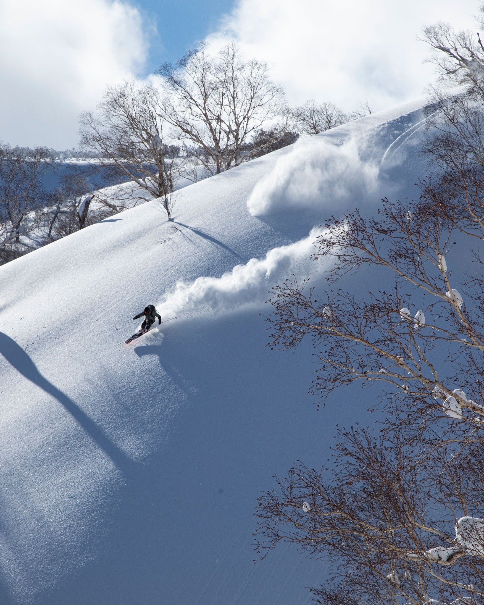
Ski east facing lines earlier, west later… North often holds cold snow the longest. North also is the last to transition to spring. South is where the shed starts.
Rocks heat up earlier in the sun so watching steep cliffy terrain gives a good clue to what is going on with the snowpack.
How hard are the freezes overnight? Has the weather been stable and allowed the snowpack to become predictable with daily spring conditions? Or are you in the beginning of that switch and the timing of the warm up is harder to nail?
The shorter the freeze or warmer the night the shorter your window of good skiing is going to be.
Clear nights offer radiational cooling which will give better conditions than nights with cloud cover. You will find drastically different conditions with the same overnight low temperature if it is cloudy vs. clear.
Isothermal snow isn't worth it. This means the snowpack has a universal temperature from top to bottom, likely after nights without a freeze. If this is the case go for a bike ride.
Depth and hardness of the snowpack factor into predictability and play a huge role in how long it takes for the snowpack to transition to spring. This along with stable weather drives how good of a corn season a place may have.
Always monitor overhead hazard and be aware of your exposure to cornices.
Cornices are a difficult hazard to manage in any way other than avoidance.
Be especially aware after non freezing nights.
Rain on snow is always bad.
Can’t wait to ride my Ravens on spring corn next weekend!
I